CoastAware™

Transforming Maritime Operations with AI-Driven Coastal Intelligence

CoastAware™ offers unmatched real-time insights for maritime safety and operations. Our subscription platform, leading in marine weather technology, provides users with detailed, actionable data for informed decision-making.

Transform Your Marine Operations Strategy

Key Features of CoastAware™

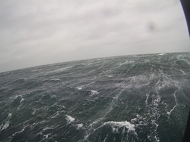
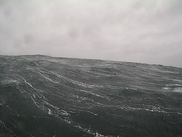
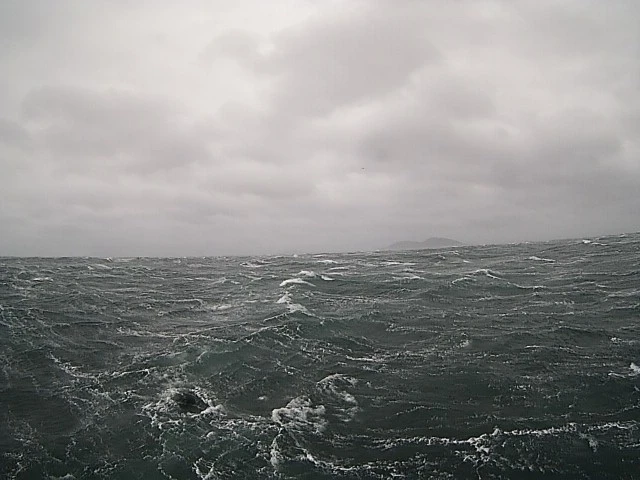
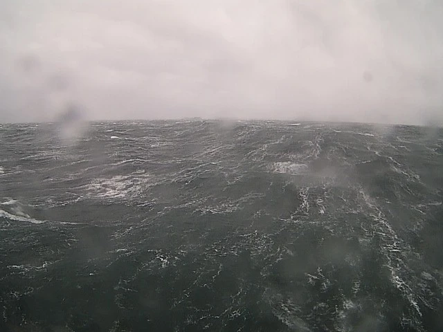
Robust Network of Real-Time Sensor Nodes

Currently North America-wide and rapidly expanding with new commissioned locations and conversions of navigational aids into data sites.

AI-Driven Forecasting and 
Weather Modelling

Ensuring the availability of high-quality, real-time, and accurate forecast data whenever needed.

Fully-Managed, Hassle-
Free Operations

No need for costly buoy maintenance or operations, with an expanding sensor network that provides data redundancy for continuous insights.

Subscription Benefits

Real-Time Updates and API Integration

Stay informed with up-to-the-minute updates and easy integration into your systems.

Customizable Alerts
and Dashboards

Tailor the platform to your specific needs with customizable alerts and user-friendly dashboards.

Flexibility and Reliability

Choose from existing sensors in our network, commission new locations, or convert navigational aids to suit your regional needs.

Accurate, Hyper-
Local Forecasting

Hyper-Localized

Wind and wave forecasts that account for the unique characteristics and geography at each location you subscribe to.

Unmatched Accuracy

Bias-corrected weather forecasts based on an advanced machine learning models trained on an actual local observed data and trusted third-party models.

Dependability

Stay ahead of the most extreme weather with accurate weather forecasts you can depend on for planning and decision-making.

User-Friendly, Customizable Display

Dashboard View

At a glance, real-time display of the weather conditions where you operate. Everything you need to know on the water.

Desktop View

The complete software suite, integrated with all of the current and historical data. Download, export, explore, and compare between different coastal locations.

Coastal Images

Triple Island Pilot Boarding Station, Prince Rupert, B.C.

Real-Time Visuals

Enhance your data with visual context from remote coastal locations. Our BuoyCam technology offers historical and real-time 360-degree views for comprehensive weather condition assessment.

Persistent and Reliable Service

Over 95% uptime with real-time alerts, alarms, and redundancies.

Easy Access Anywhere

Seamlessly integrate real-time images with weather data, accessible on PCs, mobile devices, or through an API connection.

CoastAware’s Impact on Maritime Operations

Learn more about MarineLabs’ Technology