Marinelabs Technology Stack

Persistent, Reliable, Real-time, Weather Intelligence

MarineLabs is powered by our advanced proprietary hardware, software, and machine learning, delivering some of the highest-resolution coastal data available.

Network of Real-time Sensor Nodes

Redefining Coastal Intelligence

MarineLabs believes that every coastal float in the world can be a real-time data station. Our CoastScout sensor nodes convert navigational aids and MarineLabs’ own private buoys into real-time data stations, transforming how we interact with the marine environment and enhancing safety and decision-making for maritime operations and coastal communities.

Uninterrupted Reliable Data

Our powerful sensor network is designed for long-term, dependable data collection. Our network has measured extreme rogue waves and multiple hurricanes to date.

Strength in Numbers

Multiple CoastScout sensors are positioned along coastlines providing redundancy to eliminate data disruption.

Self-Contained System

Each CoastScout sensor node is self-contained, self-powered, rapidly deployable—and exchangeable—to further enhance data reliability in remote and challenging marine environments.

Rapid Updates

Data updates are made at as fast as 5-minute intervals, keeping our customers and partners informed and alerted in fast-changing weather conditions.

High Data Transmission Capacity

Our CoastScout sensors transmit significantly larger data sizes than typical, allowing for more detailed and comprehensive weather insights.

Validation Against Industry Standards

Our rigorous validation and commissioning processes guarantee the information we deliver is compliant with all standards required for maritime operations and interoperability with other systems.

Forecast AI

Accurate, Hyper-Local Forecasts

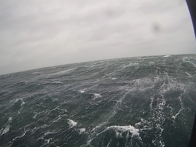
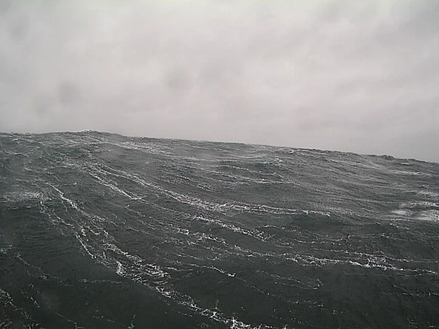
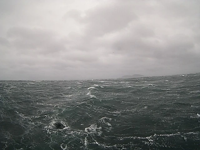
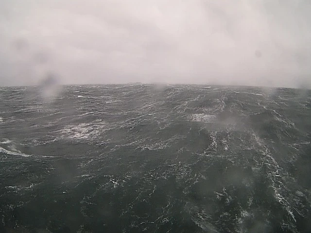
Accurate and hyper-localized coastal weather forecasts delivered through our proprietary machine-learning models and extensive local data sets. Forecast AI integrates extensive observed data from our expanding sensor network with trusted third-party forecast models. It’s continuously learning and improving to generate more accurate wind and wave forecasts.

Hyper-Local

Forecast AI provides a site-specific forecast that accounts for each location’s unique characteristics and geography. Leverage the nuance of weather at the pilot boarding station versus the inner harbour to improve your marine operations planning.

Accurate, Tactical Forecasts

Forecast AI consistently outperforms third-party models, delivering more accurate predictions that you can rely on.

BuoyCam

360 Degree Real-Time Coastal Images

Triple Island Pilot Boarding Station, Prince Rupert, B.C.

BuoyCam is the first scalable, end-to-end ocean camera data product, providing subscribers access to 360-degree, real-time views of ocean conditions from its expanding sensor network.

Real-Time Eyes-on-the-Water

Assess and understand the current state of weather so you can confidently and safely navigate rough conditions or debris in the water using a visual reference.

Easy to Access from Anywhere

Real-time images and data are accessible through customizable dashboard and desktop views.

Vessel Wake AI

Understand Who Produces What Vessel Wakes and How Often

Our algorithms comb through all of our sensor data to identify and measure the time, height, and power level of vessel wakes. We help subscribers find out who is causing impact by tracking these wakes from passing vessels and cross-referencing them with AIS data.

Persistent Views of Actual Traffic

Proprietary machine learning wake detection models based on measured data on the water and attribution with corresponding AIS data mean you can monitor actual traffic volume over long periods.

Hyper-Local Sensors

Perform traffic studies in sensitive areas, understand the real-time effects of vessel movement on safety and coastlines, attribute damage due to specific vessel wakes, and evaluate the effectiveness of local speed restrictions.

Transform Your Operations Safety Strategy